contact agent
enquire now
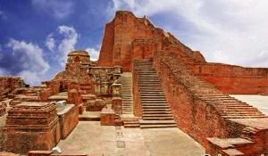
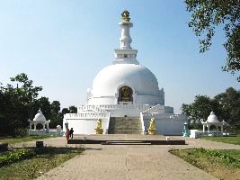
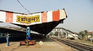
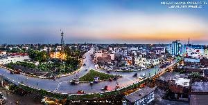
About Begusarai
This town is the authoritative base camp of Begusarai area, which is one of the thirty-eight regions of Bihar state. The locale lies on the northern bank of waterway Ganga. It is situated at Latitudes 25.15N and 25.45N and longitudes 85.45E and 86.36E. It was set up in 1870 as a subdivision of Munger District In 1972.
Begusarai had generally been a socialist fortress and was once alluded to as the "Leningrad of Bihar". Begusarai lies amidst the mid Ganga plain and by and large has low lying territory with South to South Easterly slant. Begusarai is essentially isolated in three surge fields to be specific Ganga Flood Plain, Burhi Gandak Flood plain, Kareha-Bagmati Flood Plain.
enquire now

Begusarai Rating & Reviews
5/5
Excellent
(71 Ratings )
Excellent
71
Very Good
0
Average
0
Poor
0
Terrible
0

_1511361309m.jpg)

_1511361466m.jpg)
 in the early Morning_1487764871m.jpg)
_1509342789m.jpg)